Printing is not supported at the primary Gallery Thumbnail page. Please first navigate to a specific Image before printing.
Skip to main content


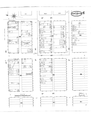
 by Sanborn Fire Insurance Co.")
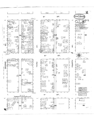
 by Sanborn Fire Insurance Co.")


Home | About | FAQ | My Account | Accessibility Statement
Trademarked and copyrighted images and insignia are the exclusive property of Marshall University.